
Eastern Naval Command commemorated World Hydrography Day 2025 with zeal and enthusiasm. In a special message, Vice Admiral Rajesh Pendharkar, Flag Officer Commanding-in-Chief, Eastern Naval Command commended the professionalism displayed in celebrating World Hydrography Day with a special mention of the recent commissioning of two state of art Survey Vessel Large - INS Sandhayak and INS Nirdeshak and the maiden hydrographic survey at Nangal Dam, Punjab.
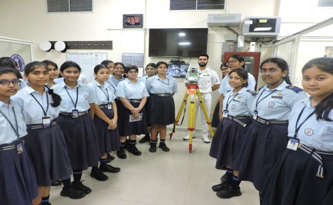
As part of the World Hydrography Day, more than 300 students from GITAM University, Andhra University, Welfare Institute of Science Technology and Management, Navy Children School and NCC Cadets visited Survey Ships, Hydrographic Survey Unit and Naval Chart Depot from 16-19 Jun 25. The visit to the ships provided first-hand exposure to students of modern hydrographic equipment, shipborne instrumentation and hydrographic surveying methodology. Visits to the Naval Chart Depot and Hydrographic Survey Unit further deepened understanding of how seabed data underpins maritime safety and national security.
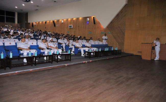
Towards engaging naval community, a lecture on Hydrography and Maritime Boundary was delivered by Commodore A Muralidhar, Command Hydrographic Officer, on 17 Jun 25, to the personnel of Eastern Naval Command.
On 19 June, ENC hosted a “Hydrographers Conclave”, where three generations of hydrographic surveyors, veterans, serving personnel and Agniveer Hydrographers shared insights on the evolution from analogue survey techniques to Artificial Intelligence enabled Hydrographic Data processing techniques. This rare confluence of traditional and modern technology demonstrated the Navy’s progressive metamorphosis and adaptability in imbibing latest technological advancements in this field.
ENC spearheads expansion of the Indian Navy’s hydrographic foot print in the Indian Ocean Region through Foreign Co-operation Surveys. Recent enhancements in the Command’s hydrographic survey capabilities has significantly contributed towards affirmative actions on this year’s theme of World Hydrography Day - “Seabed Mapping Enabling Ocean Action”.


